
Levantamento dos Recursos Naturais das Regiões Amazônica e Nordeste do Brasil, por meio de Radar e Outros Sensores
Barra lateral de artigos
Publicado:
24/09/2025
Palavras-chave:
Projeto RADAM, Sensoriamento Remoto, Radar de Visada Lateral (SLAR), Mapeamento de Recursos Naturais
Conteúdo do artigo principal
Resumo
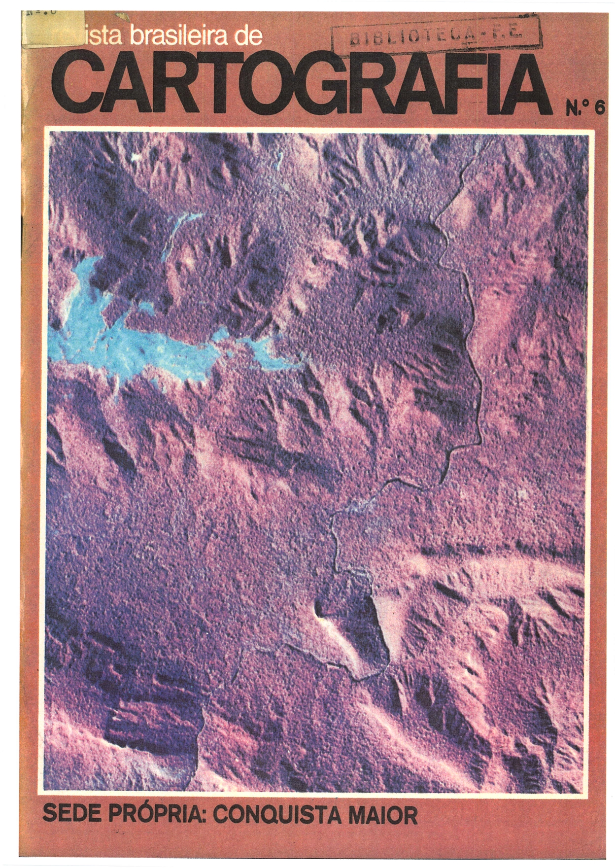
A participação do Ministério das Minas e Energia no Programa de Integração Nacional do Governo Brasileiro é o PROJETO RADAM (RADar na Amazônia). É um dos maiores e mais amplos programas jamais feitos para mapear recursos naturais na face da Terra.
Este programa usa imagens de radar de visada lateral (SLAR), em conjunto com a quantidade limitada de fotografias aéreas infravermelho colorido e multiespectrais, tomadas de alta e baixa altitude e com verificação de campo para mapear os recursos naturais, em uma área de 3,8 milhões de km².
Downloads
Download data is not yet available.
Detalhes do artigo
Edição
Seção
Artigos

Este trabalho está licenciado sob uma licença Creative Commons Attribution 4.0 International License.
Autores que publicam nesta revista concordam com os seguintes termos:
- Autores mantém os direitos autorais e concedem à revista o direito de primeira publicação, com o trabalho simultaneamente licenciado sob a Licença Creative Commons Atribuição que permite o compartilhamento do trabalho com reconhecimento da autoria e publicação inicial nesta revista.
- Autores têm autorização para assumir contratos adicionais separadamente, para distribuição não-exclusiva da versão do trabalho publicada nesta revista (ex.: publicar em repositório institucional ou como capítulo de livro), com reconhecimento de autoria e publicação inicial nesta revista.
- Autores têm permissão e são estimulados a publicar e distribuir seu trabalho online (ex.: em repositórios institucionais ou na sua página pessoal) a qualquer ponto antes ou durante o processo editorial, já que isso pode gerar alterações produtivas, bem como aumentar o impacto e a citação do trabalho publicado (veja "O Efeito do Acesso Aberto").
Como Citar
MACIEL DE MOURA, João. Levantamento dos Recursos Naturais das Regiões Amazônica e Nordeste do Brasil, por meio de Radar e Outros Sensores. Revista Brasileira de Cartografia, Uberlândia, v. 6, 2025. DOI: 10.14393/rbcv6n-79242. Disponível em: https://seer.ufu.br/index.php/revistabrasileiracartografia/article/view/79242. Acesso em: 31 jul. 2026.


Referências
.